top of page
Policy documents, GIS layers, research reports. Everything knowable is on the table.
But what you do not ask, you will not hear.

Survey Map
Gathering local knowledge from the surrounding area in an early phase.
Local knowledge at the start as a building block — not as a surprise during development.
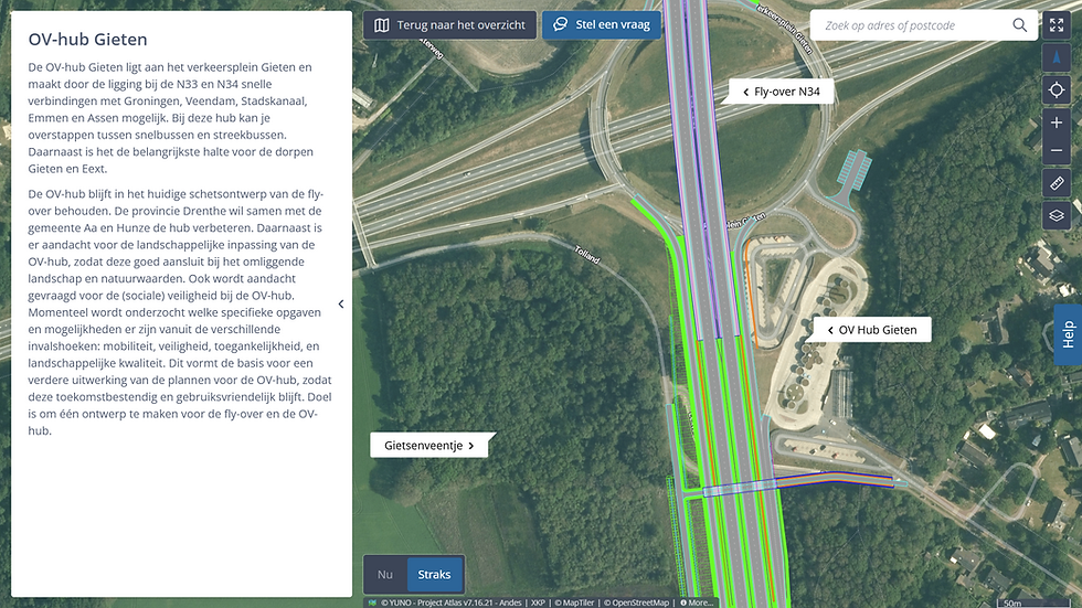
The Survey Map places structured questions on the map, in the early phase of a project. Stakeholders indicate a use, report an interest, or pin a concern to the location where it matters. Responses come in geo-referenced — you see not only what is at stake, but also where. The design therefore starts with a more complete picture, and those who have been able to contribute stand differently towards the final plan.
More complete picture
Local knowledge incorporated before the design is finalised.
Acceptance
Those who contributed stand differently towards the plan.
Defensibility
A deliberate choice can be explained; a blind spot cannot.
Works with
Plan Map
Showing the spatial impact of a plan on its surroundings.
Communication


Participation Map
Collecting stakeholder feedback in a structured way on the map.
Stakeholder interaction

Q&A Map
Answering stakeholder questions at the location they relate to.
Communication
bottom of page