top of page
Eine Aufgabe, eine Karte
Projektkarten bieten georeferenzierte Lösungen für konkrete Aufgaben in der Stakeholder-Kommunikation, -Interaktion und im Projektmanagement. Jede Karte ist auf eine bestimmte Aufgabe zugeschnitten. Durchsuchen Sie den vollständigen Katalog unten und filtern Sie nach Arbeitsbereich.
Nicht die passende Karte gefunden? Wir erstellen maßgeschneiderte Karten, die exakt auf Ihre spezifische Aufgabe und Ihr Projekt abgestimmt sind.
Filter:
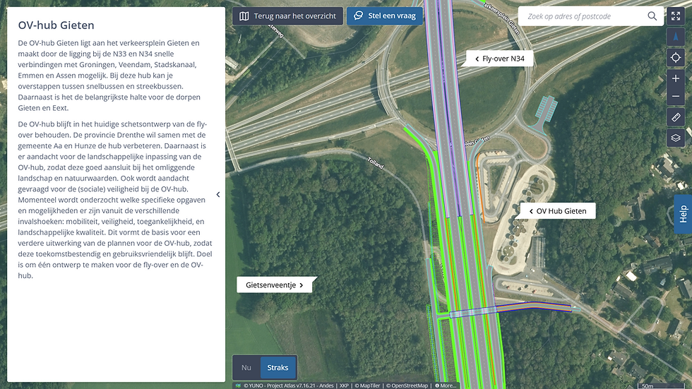
Planungskarte
Die räumliche Wirkung eines Plans auf die Umgebung zeigen.
Communication


Beteiligungskarte
Stakeholder-Feedback strukturiert auf der Karte erfassen.
Stakeholder interaction

Fragen-und-Antworten-Karte
Fragen von Stakeholdern am betreffenden Standort beantworten.
Communication

Befragungskarte
In einer frühen Phase lokales Wissen aus der Umgebung erheben.
Stakeholder interaction

Wirkungskarte
Die physischen Auswirkungen eines Projekts auf die Umgebung nach Thema und Standort zeigen.
Communication

Änderungskarte
Zeigen, was sich in einem neuen Entwurf geändert hat und warum.
Communication

Baustellenkarte
Aktuelle Bauarbeiten und Beeinträchtigungen an die unmittelbare Umgebung kommunizieren.
Communication

Terminplanungskarte
Phasierung und Fortschritt eines Projekts an die Umgebung kommunizieren.
Communication

Projektübersichtskarte
Den Zusammenhang zwischen Projekten in einem Gebiet sichtbar machen.
Communication

Visualisierungskarte
Die visuelle Integration und Ausarbeitung eines Entwurfs kommunizieren.
Communication

Baufortschrittsfotokarte
Ein Fotodossier für Bestandsaufnahme, Fortschritt und Übergabe aufbauen.
Project management

Variantenkarte
Entwurfsvarianten visuell vergleichbar machen.
Communication
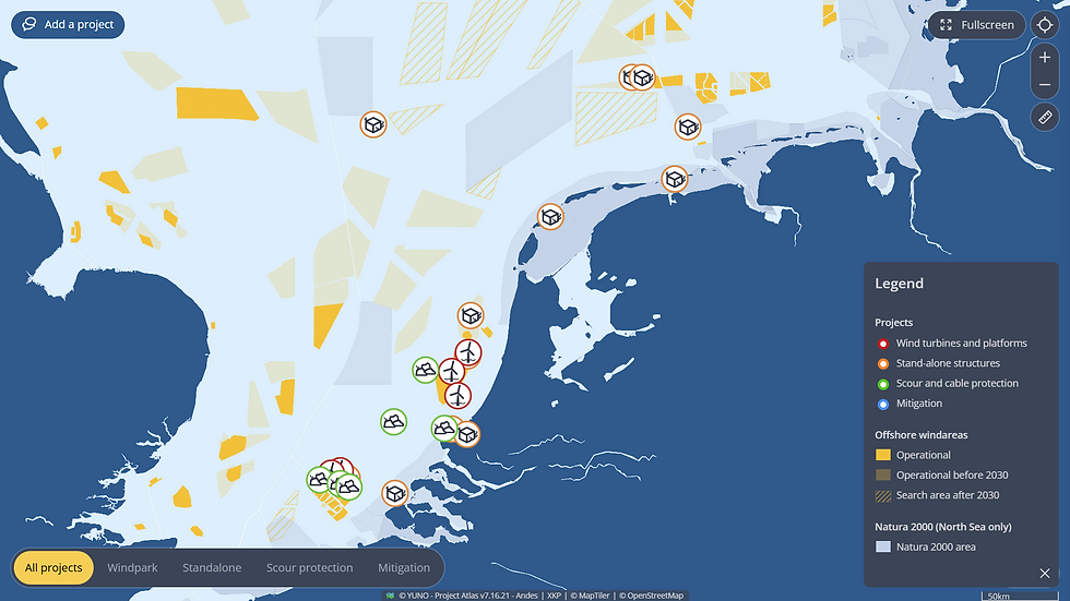
Programmkarte
Ein mehrjähriges regionales Programm in seinem Zusammenhang kommunizieren.
Stakeholder interaction

Meldungskarte
Meldungen empfangen, überblicken und nachverfolgen.
Stakeholder interaction

Umleitungskarte
Umleitungsstrecken während Bauarbeiten kommunizieren.
Communication

Erreichbarkeitskarte
Erreichbarkeit während Bauarbeiten an die Umgebung kommunizieren.
Communication
bottom of page